


ARTICLE:
Ghana has launched a national project to map and document the population of baobab trees across the country to support conservation, policy and livelihoods.
The project, code-named *BAOMAP*, was officially launched at Ho Technical University (HTU) on October 6, 2026.
It is being led by Ho Technical University in collaboration with the Council for Scientific and Industrial Research (CSIR) – Plant Genetic Resources Research Institute (PGRRI) at Bunso, and the Rhine-Waal University of Applied Sciences, Germany.
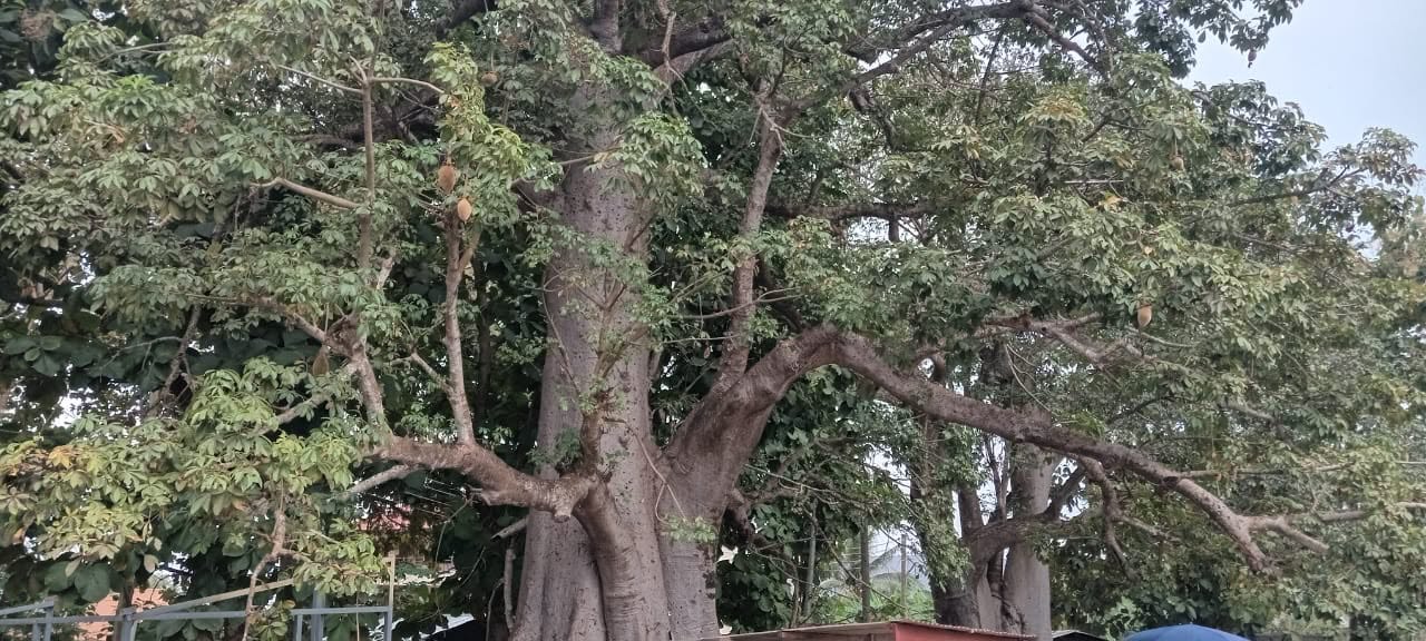
The research initiative will combine remote sensing, drone imagery and ground verification surveys to identify and classify baobab (_Adansonia digitata_) populations, collect biometric and ecological data, and produce district and national distribution maps.
It will also establish a geo-referenced national database and inventory atlas to generate recommendations for conservation, domestication and commercial utilisation.
The project has funding support of *54,000 Euros* from Rhine-Waal University, with a workplan spanning July to December 2026.
Speaking at the launch, Dr. Daniel Ashie Kotey, Director of CSIR-PGRRI, said the Institute, which hosts Ghana’s National Genebank at Bunso, has since 2024 been working on baobab germplasm collection with the Center for International Forestry Research and World Agroforestry (CIFOR-ICRAF) in Nairobi.
He said the team has already collected baobab germplasm and documented passport data including collecting sites and GPS coordinates of populations in different parts of Ghana.
Dr. Kotey described baobab as a key livelihood tree, widespread in many rural and semi-rural communities, serving as a meeting place, landmark and source of food, nutrition and income.
The project is expected to produce a national population-density map, regeneration hotspots, threat-risk layers and district-level summaries to ensure sustainability of baobab for posterity.
Source Credit: Access Agric._
FOR WORDPRESS SEO:
Excerpt: Ghana launches BAOMAP project led by HTU, CSIR-PGRRI and Rhine-Waal University to map baobab population nationwide with 54,000 Euros funding.
Tags: Baobab Mapping, BAOMAP, HTU, CSIR-PGRRI, Rhine-Waal University, Adansonia digitata, Ghana Baobab, Maxwell Awumah, Access Agric
Focus Keyphrase:Ghana baobab population mapping